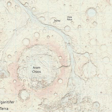
It’s been Britain’s best-loved mapping agency for years, providing navigation tools for organisations and stubborn dads finally pulling U-turns across the country. Now, Ordnance Survey (OS) has taken its next giant leap for mapkind, creating a digital recreation of Mars that could have potential applications for future space missions.
Continue to article and discussion...
No comments:
Post a Comment