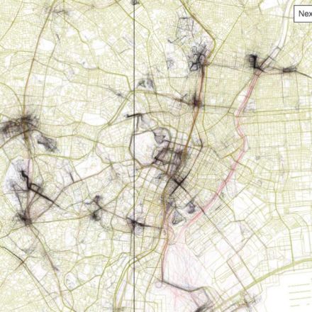
Mapbox's Eric Fischer has been working on the "Geotaggers' World Atlas" for five years, using locations of photos uploaded on Flickr over a decade. In his city maps, which now span the world, he connects the dots between subsequent photos taken by a photographer—representing their path in sketchy lines that criss-cross across the city.
Continue to article and discussion...
No comments:
Post a Comment