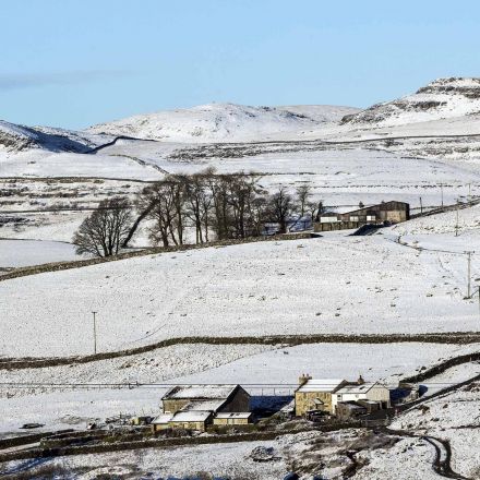
England’s entire landscape will be mapped with lasers to tackle flooding, help conservation work and even track illegal waste dumps, the Environment Agency said. Under plans unveiled by the government agency, aircraft equipped with laser scanners will map all 130,000 sq km of the country in 3D, including rivers, fields and national parks, by 2020.
Continue to article...

No comments:
Post a Comment